A new planning method for self-driving cars treats risk as a live map instead of a list of tagged objects.
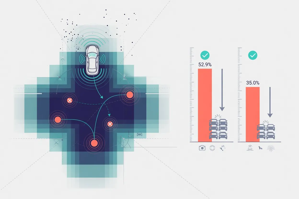
Researchers describe ROIDrive, an end-to-end driving system built around what they call risk-aware occupancy. Instead of representing the world as discrete objects and lane lines, it merges scene occupancy, map-derived traffic rules, and predicted future positions of other vehicles and pedestrians into a single bird's-eye-view grid. That grid feeds directly into the planning stage, so the system generates trajectories with an explicit picture of where danger is likely to be, not just where objects currently sit. The team also built a new benchmark, RiskOcc4D-nuScenes, layered on top of the existing nuScenes and Occ3D-nuScenes datasets to measure the approach. In open-loop tests on that benchmark, the method cut simulated collisions by 52.9% under the UniAD metric and by 35.0% under the ST-P3 metric.
The gap between those two numbers is the real story. Object-list representations tend to do fine on clean roads but fail exactly where safety matters most: crowded, occluded scenes with obstacles that do not fit a tidy category. A continuous risk map gives the planner something to react to even when it cannot cleanly label what it is looking at, which is closer to how the hardest real-world near-misses actually unfold.
Open-loop collision counts are a simulation metric, not a road test, and the roughly 18-point spread between the two scoring methods is a reminder that "collision reduction" numbers depend heavily on how you measure them.